Overview
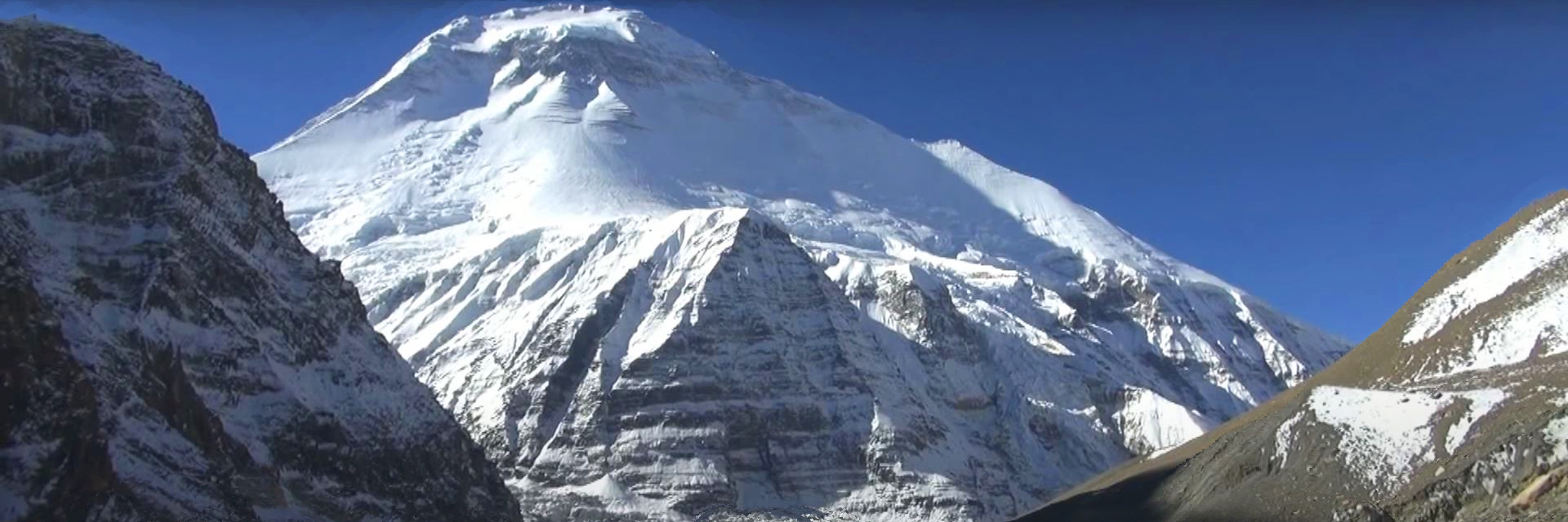
Mt. Dhaulagiri is the 7th highest peak in the world with an elevation of 8,167 meters. Situated in western Nepal, the massif is bounded on north and southwest by tributaries of Bheri River and Myagdi Khola from the southeast. Mt. Dhaulagiri occupies an area of about 120 km through the western face of Kaligandaki River towards the Bheri River. The name of Dhaulagiri came from the Sanskrit translate into “Dhavala” “Giri” means “White Mountain”.
Dhaulagiri is one of the classical and traditional mountains of Nepal. Dhaulagiri is the first 8000-meter peak to attempt by the French in 1950, who abandoned their bid in favor of Annapurna I. But, in May 1960 it was successfully ascended by Kurt Diemburger along with Peter Diener, Albin Schelbert, Sherpa Nawang Dorje, and Nima Dorje of Nepal.
Dhaulagiri Expedition is considered an interesting peak among other 8000 meter peaks. There are more than 5 different routes established with variations to reach the summit. The long ridges and glaciers offer feasible approaches and we will climb through the standard route.
Best Time for Dhaulagiri Expedition
Dhaulagiri Expedition in Spring Season
With longer and pleasant days, spring in Nepal is the best month for Makalu Expedition. With blooming flowers welcoming you and fields expanding a wide variety of colors, the months between March and May are the most excellent months for witnessing the beauty of Makalu. The rain will be usually less during these months, but you may experience quite a good amount of rainfall towards the end of May.
This is the season when Nepal experiences a large number of climbers. To meet like-minded adventurers and experience the best of everything, spring is the best to visit Nepal.
Climbing Strategy for Dhaulagiri Expedition
The normal Makalu Expedition route to the peak is from the Northeast Ridgeside and it is also the original route used in 1960. Usually, we will set 3 camps for climbing the Dhaulagiri. Makalu expedition begins with the steeply climb from the flat glacier above Base Camp, then skirt below the wall. Then the route will open out into a wide glacier that leads us onto broad north col where will set up our Camp I (5,750m/18,865ft.).
On the way to Camp II (6,500m/21,325ft.), we follow broad snow slopes that lead to the sharp mountain ridge. Here climbing Sherpa will guide you if you do not have technical climbing experiences. Camp III will be at the altitude of (7,400m/24,278 ft.). Heading towards Camp III you will witness some ups and downs. We have to climb towards the East Ridge, where strong wind may be another challenging part. Reaching Camp III is the most difficult part of the Makalu Expedition.
Summit day to Makalu will start in the depth of night and if weather is favorable then it will take about 7 to 10 hours. Climbing time also depends upon your pace, stamina, and courage of the climbers. We will ascend through a sharp ridge above camp and rise towards rock and snow shelves and enter a large snowfield until we tackle a 45-degree gully, which leads us to the SUMMIT.


